Some geology resources
Welcome to our website
The landscape of Berwickshire is varied and dramatic in places and the rocks and structures which underlie it are interesting and sometimes challenging to understand. This website is a means of accessing the various geological walks leaflets, photos and other resources that have been produced recently for use by local groups and we hope that you will find them useful. We will endeavour to add new information over the next few years.

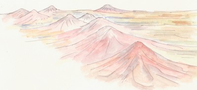
The rolling hills and wide valleys of Berwickshire stretch from the cliffs of the North Sea coast westwards to the Eildon Hills, the high hills beyond Galashiels and north to the Lammermuir Hills. Most of the region is drained in an easterly direction by the River Tweed and its tributaries, which include Whiteadder Water, Blackadder Water and the River Till.
